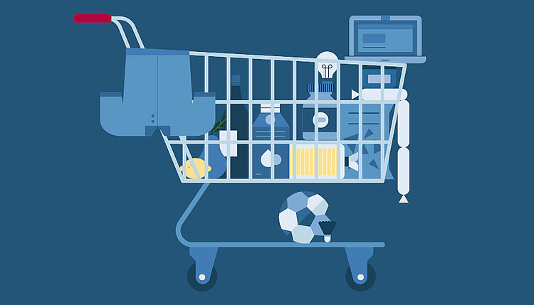
Geodata from Statistics Austria
Due to statistical requirements, Statistics Austria produces new geodata and updates older geodata on an ongoing basis. The results are available for download as PDF and JPG files on the website. Since no further use can be made of the data in a geoinformation system (GIS), however, this geodata is made available either free of charge or for a fee.
Information
For more Information contact geoinformation@statistik.gv.at
List of geodata
The geodata is available as shapefiles and tables in the form of dBase and text files. The projection of the data is MGI Austria Lambert (EPSG: 31287).
- Political Districts
- Municipalities
- Statistical Enumeration Districts
- Regional Electoral Zones
- Labour market areas
- Tax office areas
- Judicial districts
- NUTS Units
- Locality
- Settelment Units
- Agricultural production areas
- Statistical Grids